
Tamarac ZIP Directory Coverage
Five Census ZIP Code Tabulation Areas intersect Tamarac, and one additional postal identity is tied to the Tamarac Post Office. A ZCTA is a Census approximation of a ZIP service area, not the live delivery system. The table separates the city's main western and eastern areas from small edge overlaps.
| ZIP | Tamarac area | Postal context | Boundary note |
|---|---|---|---|
| 33321 | Central and western Tamarac, City Hall and Woodmont | Tamarac is often the preferred city | Postal datasets may extend beyond the city |
| 33319 | Southeast and east Tamarac | Fort Lauderdale, Lauderdale Lakes, or Tamarac may appear | Crosses city lines |
| 33320 | Tamarac Post Office identity | 7875 NW 57 Street in archival USPS material | Likely special or PO-box role; verify live |
| 33351 | Southwest edge | Fort Lauderdale or Sunrise naming | ZIP and city line differ |
| 33068 | Small eastern or northeastern edge | Mainly North Lauderdale | Not a citywide Tamarac ZIP |
| 33309 | Small eastern or southeastern edge | Mainly Fort Lauderdale or Oakland Park | Verify the parcel separately |
The core ZIP code is 33321, but it should not be used as a substitute for city limits. The edge ZIPs are useful filters only after an address is standardized and placed on the parcel map.
Tamarac ZIP Names Can Mislead
USPS assigns delivery routes and acceptable place names. City and county agencies maintain municipal boundaries, parcels, districts, and addresses for public administration. Those systems serve different purposes. A mail line that says Tamarac does not prove the parcel lies inside Tamarac, and a valid Tamarac parcel may accept Fort Lauderdale, Sunrise, or another nearby postal name.
This mismatch is especially visible around 33319, where Tamarac meets Lauderdale Lakes and Lauderhill, and at western 33351 near Sunrise. Small intersections with 33068 and 33309 demand the same care. For an exact question, enter the full street address in USPS, then compare its folio and municipality in BCPA.
Verify Tamarac ZIP Code Mail
The USPS ZIP Code Lookup supports three useful modes. Address lookup takes a street address, apartment or suite, city, state, and an optional ZIP. City-and-state lookup returns ZIP results for a named place. Reverse lookup accepts a ZIP. The output is a standardized delivery address and ZIP, not the name of a resident.
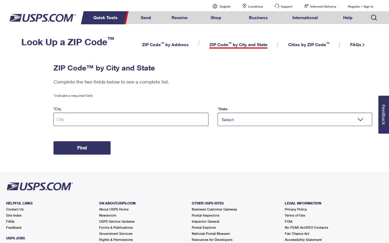
The screen is the right first stop for spelling, unit format, and current postal code. If a result uses a neighboring place name, do not “correct” it to Tamarac without checking delivery guidance.
| Lookup mode | Fields entered | Result |
|---|---|---|
| By address | Street, unit, city, state, optional ZIP | Standardized address and ZIP |
| By city and state | City and state | ZIPs associated with that postal city |
| By ZIP | Five-digit ZIP | Postal place details |
Note: USPS answers where mail goes; it does not identify occupants or determine whether an address sits within Tamarac's legal boundary.
Find Tamarac Residents by ZIP
A ZIP-wide resident search needs a careful funnel. The postal code narrows a large set, but it can pull in addresses outside the city. BCPA is the stronger local dataset because a parcel card separates property address, owner mailing address, municipality, legal description, and folio. Export and filter options can vary, so verify any ZIP result against the map rather than relying on a count of postal labels.
- Standardize the full address with USPS and save the ZIP exactly as returned.
- Search the address in BCPA and confirm the municipality field says Tamarac.
- Record the folio, situs address, and legal description; keep mailing address separate.
- Use GIS to inspect whether the parcel falls inside the city boundary and the expected ZIP geography.
- If seeking a public voter extract, define the ZIP or precinct and request only public fields through Broward elections.
The public voter self-lookup is meant for a person to verify registration with identifying inputs. It is not an open ZIP browser. Broward Supervisor of Elections offers a Registered Voter List Data Request form, publicrecords@browardvotes.gov, and NextRequest for lawful public extracts. Its published price list gives a $20 voter-list database search and $6 optional USB; files over 10MB use Dropbox. Protected addresses and confidential identifiers stay withheld.
Tamarac ZIP Versus City Limits
A ZIP code directory organizes delivery geography. Tamarac government records organize municipal work. Broward property data organizes parcels and tax districts. Census ZCTAs approximate mail areas for statistics. Because none shares the same boundary, a count from one system should not be labeled a count from another.
- ZIP code
- A USPS routing code used to deliver mail; its edges do not define city government.
- ZIP+4
- A five-digit ZIP plus four digits that narrow delivery to a segment, building, or group.
- PO-box ZIP
- A code used mainly or only for post-office boxes rather than normal street delivery.
- Unique ZIP
- A ZIP assigned to one large organization or mail receiver.
- Carrier route
- A group of addresses served along one postal delivery path.
No official source verified a Tamarac-wide ZIP realignment year. Archival USPS material links 33320 with the Tamarac Post Office and sorting identity, but its live role should be checked before mailing. That uncertainty should remain explicit.
Tamarac ZIP Address Layers
Directional road names are common in Tamarac. Subdivision loops, courts, canals, and curved planned streets complicate simple number-order searches. A useful local record trail keeps four labels apart: the situs address where the parcel stands, the owner's mailing address, the recorded legal description, and the parcel folio. The same ZIP may contain properties whose municipal and neighborhood records differ.
| Situs address | The physical property address shown on the assessment roll |
|---|---|
| Mailing address | Where the owner receives tax or agency mail; it may be elsewhere |
| Legal description | The subdivision, lot, block, or land description carried into deeds |
| Folio | Broward's parcel identifier, useful when street text changes |
| ZIP | The delivery code, which may cross a city line |
For street-level work after a ZIP has been narrowed, follow the full address and parcel chain in the Tamarac street directory. That shift avoids treating a broad postal zone as a household list.
Tamarac ZIP Neighborhood Records
Neighborhood programs add useful place context but not resident names. Tamarac's meeting and beautification pages identify civic activity, associations, and projects. The Neighborhood Partnership Program requires an eligible association to be active for at least five years, elect officers, document elections, hold Florida nonprofit status and an EIN, and have no open code violations. Grants are capped at $4,999, require a 50 percent neighborhood match, and address visible common property.
The Tamarac neighborhood meetings resource shows the public community layer tied to different parts of the city.
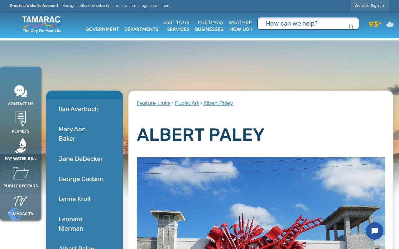
Meeting contacts can help identify a neighborhood name inside a broad ZIP, but they are not an HOA membership roster or proof of residence.
The city's Neighborhood Beautification Program documents the partnership rules.
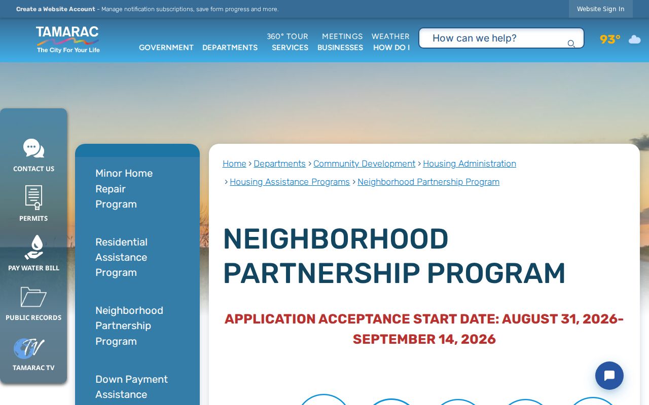
Use the association or project name to refine place research, then return to the parcel and legal description for an exact property.
Tamarac ZIP Directory Quirks
Tamarac's separated development tracts explain part of its postal puzzle. Tamarac Lakes began on the east side, while Mainlands and Woodlands followed in other areas. The result is a city shape that does not align neatly with ZIP areas. Its canal and golf-oriented communities also make map adjacency more reliable than assuming that the next house number lies on the same simple block.
The official Tamarac history supplies the incorporation and development context behind those discontinuous areas.
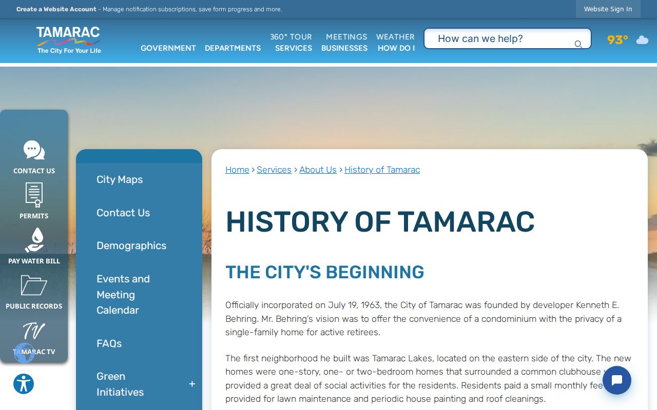
Historical neighborhood names can be better search terms than a present ZIP when reading old deeds, plats, directory volumes, and city publications.
An owner-verified parking petition is another local wrinkle. For a public-street change, owners of record sign, each parcel gets one vote, and support must reach 55 percent of residential properties. Private-street residents go through an association or property manager.
The Tamarac neighborhood parking process illustrates why ZIP geography and local record geography answer different questions.
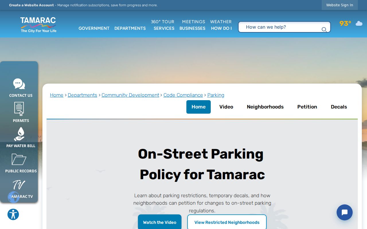
A completed petition is evidence of owners participating in one issue, not a directory of all residents within that ZIP or neighborhood.
Keep Tamarac ZIP Results Accurate
New subdivisions may appear first in permits, plats, developer deeds, and association records, then later in annual property, postal, or election extracts. Tamarac projects such as Hidden Trail, Bailey Square, Tamarac Village, Enclaves at Woodmont, and Eden West illustrate that time lag. Search a new place by plat, legal description, developer, or association when the finalized street address does not yet match across systems.
Names also require care. Preserve both surnames, punctuation, and ordering as printed. Try initials and supported prior names, then add a parcel, date, organization, spouse, or event as a second identifier. Tamarac's multilingual population makes variant-aware searching practical, but a surname must never be used to infer a person's background.
The best Tamarac ZIP code directory result is therefore modest: a verified postal code, a confirmed Tamarac parcel, and a clear statement of what the chosen public record does and does not show.